Gran Canaria’s Summits

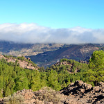
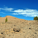
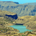
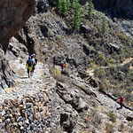
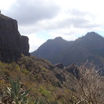
Pico de las Nieves is the highest peak of the island as it rises up to 1949 metres above sea level. That is where the itinerary that skirts the Tirajana Caldera starts. This path provides spectacular landscapes and breath-taking panoramic views which point out the contrast between the summits and the south of Gran Canaria, Fataga and Tirajana ravines and the imposing Amurga massif. The track continues until reaching the Plata pass, a way often taken by the shepherds and traders in former times. It is paved and winds down the crags until it reaches the gorge known as Degollada de Cruz Grande.
The route ends in San Bartolomé de Tirajana, an ideal little town to unwind and get to know its people and walk through its charming streets and around its pretty squares.
This route includes:
- Visit to the ethnographic museum of Tunte
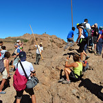
- Shepherd's jump workshop and exhibition
 |  |  |  |  |  |
|---|---|---|---|---|---|
| Difficulty: medium | One-way | 9,5 km | 05:00 hrs | 0 m | 1056 m |
Itinerary
Pozo de las Nieves – Cruz Grande – Tunte

Route Gallery
[widgetkit id=87]Interactive route and profile
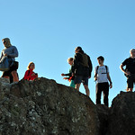
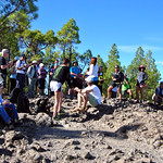
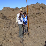
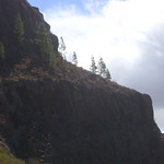
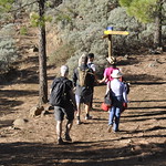
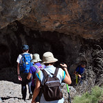
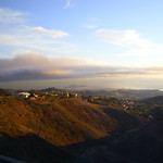
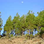
The following pics have been shared by Gran Canaria Walking Festival 2014 users:






























- Hits: 4979


